By Kenneth Field, Esri Research Cartographer
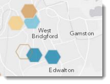 Presenting point-based data on a web map is challenging because of the problem of overlapping symbology, particularly as you zoom out of the map to view data at smaller scales. So-called push-pin web maps are very easy to make with ArcGIS Online but making the map make visual sense at the smaller scales requires a little more work. In this blog entry we illustrate how data binning can be used to aggregate large point-based datasets into hexagonal polygons to overcome the problem and improve the web map across all scales.
No comments:
Post a Comment